
Trace a Hamtramck Street by Address
A careful Hamtramck street search begins with one normalized address, not a broad list of names. Keep directional prefixes, street suffixes, unit details, and alternate spellings exactly as the source gives them. The local parcel record can identify the situs address, parcel number, and owner line. That owner line is a starting point, not proof of who is presently at the building. From there, map the parcel, follow the legal description into recorded land documents, use election records only through their documented channels, and compare a dated directory entry when historical context matters.
- Search the complete address in Hamtramck BS&A Online. Save the situs address, parcel number, location ID, owner line, and the date checked.
- Open the same spot in the Hamtramck Parcel, Zoning, and Land Use Viewer. Check the parcel polygon, road labels, and city boundary before treating a nearby result as Hamtramck.
- Use the parcel's legal description and current owner as a grantee lead in the Wayne land-record index. Match lot, block, subdivision, and document date, not a similar street number alone.
- For an election-related question, use the individual Michigan voter tool or the QVF FOIA form's defined geography choices. Neither route supplies a public street roster.
- Compare a dated reverse directory or historical directory entry only after the parcel trail is set. Record its publication year and page as a separate snapshot.
This address-to-owner-to-deed sequence keeps the roles clear. A deed names recorded parties, an assessor card describes a parcel, and a directory records a publication-time listing. A blank result should remain a blank result, with the checked source and date noted beside it.
Hamtramck BS&A Street Search
The public BS&A landing page is Hamtramck's useful current-property layer. It exposes separate Address, Name, and Parcel Number routes, plus a Detailed Record Search link. Search help also describes All Records and By Name views, sorting, pagination, and a way to broaden a name query by removing a first name. For street work, begin with Address and use the parcel number when the street result is too wide. The public landing page does not document every advanced field, so an unshown filter should not be assumed.
| BS&A field | Format | Use on a street | Research limit |
|---|---|---|---|
| Address | Text | Find a Hamtramck situs address | Partial-match rule was not published |
| Name | Text | Check an owner line after an address result | Name order and partial behavior are not fully documented |
| Parcel Number | Text | Lock the search to one parcel | Use the locally displayed identifier |
| Detailed Record Search | Link or mode | Open record-specific searching | Secondary fields were not located in the official capture |
Hamtramck's assessor asks owners to keep ownership and mailing information current, but a tax mailing address can be outside the city or tied to an estate, business, or agent. Assessment values and exemption information likewise describe the record, not a complete household. Use the property card as the parcel anchor, then corroborate any name or address connection with the source that actually answers the question.
Hamtramck's Building Department publishes the permit, inspection, address-request, and code-compliance routes shown here.
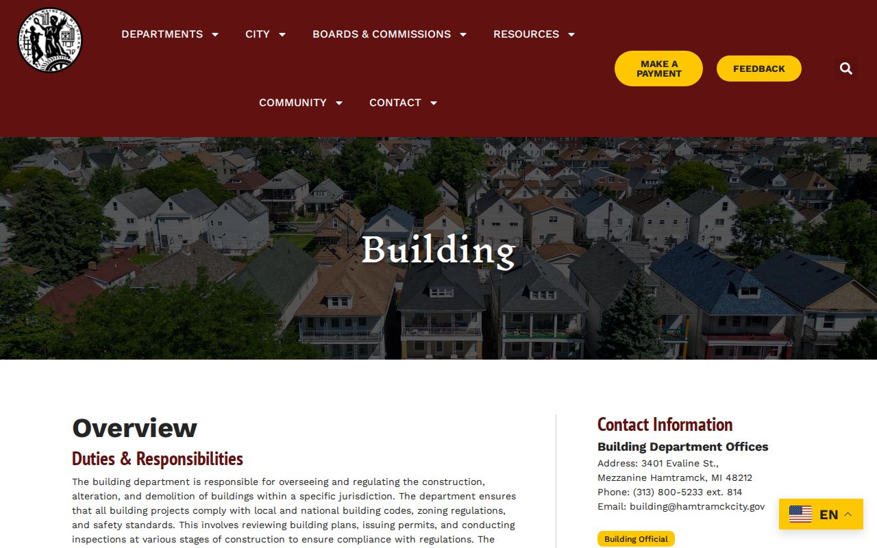
The department's published routes help place a project at an address, but they do not create a public list of present occupants.
Note: The official research did not locate a citywide public permit-result index, so use the published department contact or BS&A route for a specific record.
Read the Hamtramck Parcel Map
The city ArcGIS viewer supplies the spatial check that a street directory needs. Its verified layers include Hamtramck Boundary, City Parcels, Zoning District, Future Land Use, Road Labels, Freeways, Other Roads, and Other Municipalities. Pan or zoom to the address, select the parcel, then inspect the touching polygons before following a record across the street or around a corner. The item description also mentions enforcement and certificate data, but the static review did not verify a live owner-name search or a fixed pop-up field list.
The Hamtramck parcel viewer shows the map layers used to distinguish a city parcel from the surrounding municipal context.
Use the map result beside the BS&A card, because local communities, rather than the map item alone, handle the current assessment and tax roll.
Hamtramck is a compact city bordered largely by Detroit, with a small Highland Park edge. I-75 lies west and I-94 south. A postal label can stay the same while a street crosses a municipal line, so the boundary layer and parcel identifier deserve more weight than a nearby street name.
Note: The static source did not document a neighbor-export or radius control, so adjacent-parcel work needs individual map review.
Hamtramck Street Records Compared
Address-keyed sources make a Hamtramck street directory more useful when each result keeps its own label. The assessor layer supplies a current parcel connection. The GIS layer supplies map context. Deeds explain recorded transfers. A tax portal reports a tax-status layer. Permits may date work at the address, while a directory captures a past listing. No single row should be relabeled as a complete resident record.
| Street source | Keeper | Address connection | Access route |
|---|---|---|---|
| Parcel and tax card | Hamtramck Assessor / BS&A | Situs, owner line, parcel, values, building and tax tabs | Public portal |
| Parcel map | Hamtramck ArcGIS viewer | Polygon, boundary, zoning, roads, adjacent parcels | Public viewer |
| Recorded instruments | Wayne County Register of Deeds | Grantor, grantee, legal description, transfer trail | Post-1986 web search, then office route |
| Delinquent tax search | Wayne County | Address, parcel, street, municipality tax-status lookup | Public portal, no ZIP field found |
| Building record request | Hamtramck Building Department | Project, applicant, owner, plan, inspection timing | Published forms and department route |
| Historical directories | Burton and identified Hamtramck leads | Address-to-person listing for one publication year | Library and collection research |
For a long road, divide work at intersections or blocks. Keep one row per address and separate columns for parcel number, situs, owner, tax mailing indicator, deed instrument and date, permit contact, election result when lawfully verified, and directory year. That structure preserves a negative result too, such as no parcel found or no public permit index located.
Hamtramck Deed Chains Along a Street
The Wayne County land-record portal is the recorded-transfer layer. Start with the current BS&A owner as grantee, find the purchase document, then search the seller as an earlier grantee. Carry the lot, block, subdivision, or legal-description terms through each turn. A shared street number or a repeated surname is not enough to prove the same parcel. Mortgages, liens, land contracts, plats, and deeds can all appear in a title trail, but each has a different purpose.
The Register says its web search covers post-1986 material, while the county's land-record history reaches much further back. Older work may require the Register's office, deed books, or assisted copies. Since October 2025, the office has used appointments for in-person service, and its current notice describes 20-minute appointments for up to five documents and 45-minute appointments for 5 to 25 documents. Preserve the document's recording date separately from its signature date.
Wayne County's document-recording page describes the legal-description and recording requirements behind this part of the street trail.
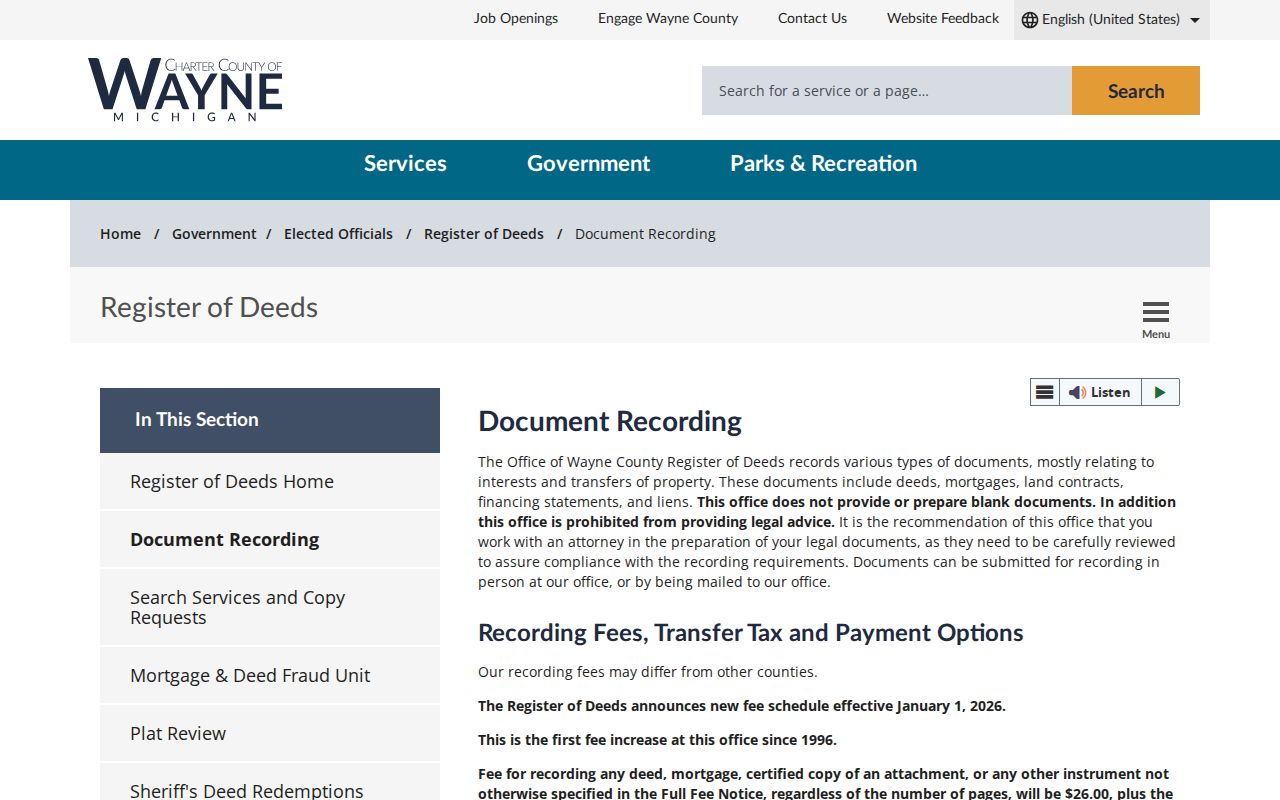
The recording rules reinforce why lot and legal-description terms should travel with the street address during a deed search.
- Parcel
- A defined piece of land in the assessment system, identified by a parcel number and mapped polygon.
- Situs address
- The address of the parcel or building itself, distinct from the address used to receive tax notices.
- Plat
- A recorded map that lays out lots and blocks in a subdivision and helps match a legal description to a place.
- Criss-cross directory
- A reverse directory organized by address, useful for a dated address-to-person listing rather than a current parcel claim.
Note: The online index's post-1986 statement is not proof that every earlier deed image is unavailable or that every later image is complete.
Hamtramck Street Permit Clues
Permit material can date activity at a Hamtramck address. The Building Department lists permits, plans, inspections, regulations, code compliance, and application forms. Its 2025 building application asks for the project address, applicant and owner contact blocks, project details, estimated cost, review information, and certificate-of-occupancy choice. The engineering construction form adds location, house number, cross-road direction, tax ID for residential work, project limits, work type, and description.
Those fields are useful when a building changed between two dated directory entries or when a deed trail needs an address-specific event. They do not establish current presence at the location. The official materials publish application routes but do not expose a complete public code-case or permit-result inventory, so request a defined address, date range, and record type instead of assuming a searchable citywide index.
Note: A project date can support a chronology, but the document's applicant, owner, and approval fields have different meanings and should be labeled separately.
Hamtramck Street Voter Geography
Michigan's Voter Information Center is an individual status tool, not a public block-by-block search. The QVF FOIA form instead offers statewide, county, jurisdiction, district, ward, precinct, and related election geographies. Its available fields can include a complete name, residential address, mailing address when available, year of birth, registration date, voter status, voter ID, and requested vote history, subject to exemptions. Phone, email, month and day of birth, signatures, ID numbers, and other protected information are withheld.
A defined civic question can justify a jurisdiction or precinct request. It does not turn a street segment into a household roster. Keep a voter result distinct from an assessor owner, deed party, or past directory entry, and do not infer a person's ballot choice from a registration or history record.
Hamtramck Street Directory Snapshots
Reverse directories are the historical address tool for a Hamtramck street directory. Research identified Hamtramck directory leads for 1918, 1934-35, 1954, and 1957, while the Detroit Public Library's Burton Historical Collection holds regional Detroit directories from 1837 through 1941 with selected later runs. The local library database page points to historical and community resources, but it does not publish a complete Hamtramck shelf list. Ask about newspapers, clippings, yearbooks, directories, and obituary holdings rather than assuming a missing online catalog means the material is absent.
A directory is a publication-time snapshot. Pair its year with the parcel legal description and a census or deed date only after recording the source's actual date. Burton also offers onsite regional materials, including historical maps and local-history collections. For fuller collection detail, use the Hamtramck city directories route rather than treating a single street listing as continuous occupancy.
Note: A directory publication date, a deed recording date, and a census enumeration date should remain separate in a street research log.
Hamtramck Street Number Warnings
Myth: a postal city, a tax mailing address, a deed grantee, a voter record, and a directory listing all prove the same address fact. They do not. Hamtramck's small footprint, Detroit edge, Highland Park border, and nearby freeway corridors make a municipality check especially important. The legal description is strongest for a deed chain, the assessor situs is strongest for parcel location, and USPS is the authority for a mailing label.
Older records add another trap. City materials place Hamtramck Township in 1798, the village in 1901, and city incorporation in 1922. Historic maps identify township, village, and city phases. Detroit's documented 1921 renumbering and a directory database's original and post-1921 fields are useful regional warnings, but no Hamtramck-specific renumbering year was confirmed. Test an alternate number only when a source gives a reason.
Limits of a Hamtramck Street Directory
A street directory can connect public, dated record roles. It cannot promise a complete current list for every household, unit, or person on a block. A parcel owner may receive notices elsewhere, a permit shows a project connection, a deed shows recorded parties, and a historical directory may be years removed from the present. Protected address participants and people absent from a particular source should not be treated as missing from the community.
For a city record that is not online, narrowly identify the address, date range, department, and record series in a request to the Hamtramck City Clerk under Michigan FOIA. Ask for electronic copies when appropriate and expect lawful redactions.